Michigan Maps Home > Michigan Map Collection > Grand Rapids Map
Road Map of Grand Rapids
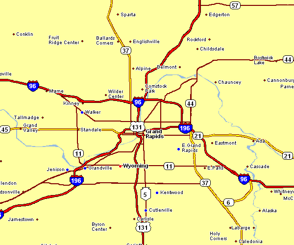
Above is a classic graph offering the geography of this area with a simple collection of features.
You can store this web page and make use of it in your projects. Citing this page is very much appreciated.
In case you are hoping for aid locating a map, a specific map, or are hoping for a good individualized production, do not hesitate to contact us.
Order high quality personalized maps from us. Our custom maps cover a wonderful array of features, for example: avenues, elevation information, coordinates, capes, mountains, villages, forests, or road features, etc. Types of maps reach from regional to aerial, printable to printed, county level to planning regions.
Good maps are accurate, current, and not deceptive. Fine map production by YellowMaps.
To acquire printed maps or charts, for instance recreation atlases, maps for kids, or topographic maps, just visit our map shop We carry tens of thousands items.
A lot of our maps get printed on-demand. They are always available.
Back to Michigan map collection