Michigan Maps Home > Michigan Map Collection > Grand Rapids Map
Street Map of Grand Rapids
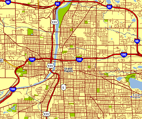
On top you have a classic map displaying the geography of this area with a simple array of elements.
You are allowed to use the map and take advantage of it in your work. Citing this page would be considerate and well thought of.
In the case that you are hoping for support finding a map, a distinct kind of map, or are hoping for a first-rate custom-made product, simply contact us.
Procure good custom maps from us. Custom maps made by YellowMaps provide a sizable combination of details, for instance: roadways, map projection, UTM coordinates, air navigation features, mountains, springs, falls, or provinces, etc. Map types go from highway to tourism, printed to electronic, national to places.
First-Rate maps are exact, well-defined, and not old. Skillful map design by YellowMaps.
To procure physical maps, such as navigational charts, attractions maps, or maps for kayaking, you can visit our online map shop We carry thousands and thousands items.
Have trouble printing or downloading this map? Just contact us.
Back to Michigan map collection