Michigan Maps Home > Michigan Map Collection > Western Michigan Map
Highway Map of Western Michigan
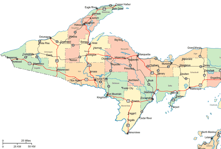
This map is a simple picture showing the political boundaries of this territory with a plain combination of elements.
You are allowed to use the map file and utilize it for many purposes. Giving credit to this source is always appreciated. Thank you.
Supposing you require support getting a map, a distinct kind of map, or require a great tailor-made creation, I suggest you contact our map specialists.
Buy nice personalized maps from us. A tailor-made product produced by us cover a good selection of elements, such as: backroads, map projection, GPS coordinates, bays, marine navigation features, territories, district municipalities, or plains, etc. Map types range from scientific to contour, digital to hardcopy, regional to urban growth areas.
Great maps are accurate, well-defined, and not deceptive. Detail-Oriented map-making by YellowMaps.
To order paper maps, such as recreation atlases, educational maps, or maps for exploring, please explore YellowMaps Map Store It has over 100,000 products.
Perhaps you can find the map you are looking for already made: just use the above search bar to search our map store.
Back to Michigan map collection